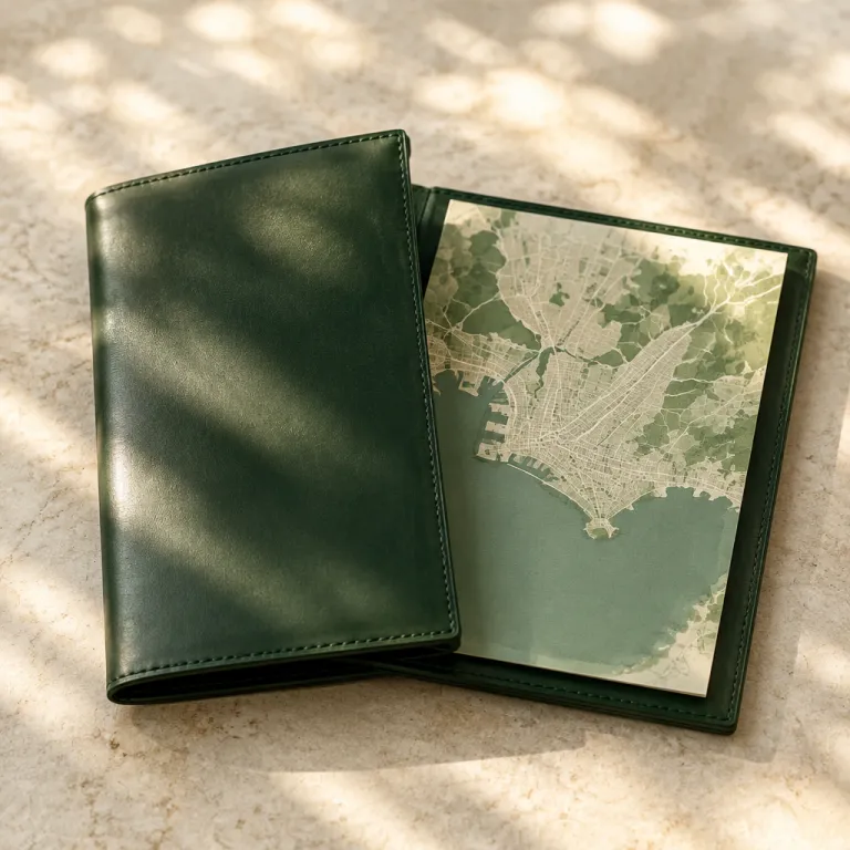
Reading the montevideo map as a luxury traveler
The Montevideo map becomes a powerful planning tool when you read it through the lens of luxury travel. On a detailed city map of Montevideo, you can immediately see how the historic core, the waterfront neighborhoods, and the premium hotel zones align with your itinerary. This perspective helps you match each district of the Uruguayan capital with the right style of stay and the right level of comfort.
Start by locating the main coastal curve of Montevideo, where the Río de la Plata frames the city like a vast silver amphitheater. Along this arc, a neighborhood map reveals a sequence of districts from Ciudad Vieja and the port area to Centro, Pocitos, Punta Carretas, and finally Punta Brava near the Punta Brava lighthouse. Each of these areas offers a different balance of heritage, nightlife, and quiet residential charm for premium and luxury hotels in the city.
For travelers arriving from Buenos Aires by ferry, the first reference point on any destination guide is usually the Port of Montevideo. On a modern Montevideo map, the port sits beside Ciudad Vieja, the oldest part of the city and a natural base for historic city escapes. From here, a short walk of about 10 minutes across Plaza Independencia connects you with the more modern grid of the Montevideo metropolitan center, where many high-end hotels cluster around key business and cultural addresses.
Historic city core on the montevideo map: Ciudad Vieja and plaza Independencia
Zooming into a central Montevideo map, the compact peninsula of Ciudad Vieja appears as a tight lattice of streets between the port and Plaza Independencia. This historic district is where colonial facades, art deco towers, and contemporary galleries coexist within a few hundred meters. Luxury travelers who value atmosphere over size often choose premium hotels here to stay close to the city’s oldest stories and most photogenic corners.
Plaza Independencia is the main square that anchors the transition between Ciudad Vieja and downtown Montevideo. On most city maps, this plaza is easy to spot, framed by the iconic Palacio Salvo, the Solís Theatre, and the gateway to the pedestrian Sarandí street that leads back into the old city. When you book a high-end hotel near this square, you gain immediate access to both the historic port quarter and the business-focused avenues of the Montevideo metropolitan center.
Use a detailed city map as your destination guide to trace a walking loop from the port and Mercado del Puerto through Ciudad Vieja’s side streets to Plaza Independencia. For inspiration on how to structure such a walk, many travelers consult curated itineraries about a family walk through Ciudad Vieja and Mercado del Puerto, such as those described in this Ciudad Vieja street art and Mercado del Puerto guide. When you overlay this route on your Montevideo map, you can then pinpoint which luxury and premium hotels sit within a five- to ten-minute stroll of your preferred cafés, galleries, and river viewpoints.
From plaza Independencia to the waterfront: palacio Salvo, city hall, and the metropolitan cathedral
Standing on Plaza Independencia, the Montevideo map comes alive in three dimensions as you look up at Palacio Salvo. This palacio is one of Latin America’s most recognizable towers, and its silhouette helps you orient yourself on any city map of Montevideo. Many premium hotels nearby use Palacio Salvo and the adjacent city hall as reference points when describing their location to international guests.
Walk east from the plaza square and you enter the downtown grid where the Montevideo city hall rises above Avenida 18 de Julio. On most maps, this axis runs straight toward the neighborhoods that lead to Pocitos and Punta Carretas, making it a practical spine for both business and leisure travelers. Luxury hotels along or near this avenue give you quick access to cultural landmarks such as the Solís Theatre and the Montevideo Metropolitan Cathedral while still keeping the waterfront within a short ride.
The Montevideo Metropolitan Cathedral, located back in Ciudad Vieja, appears on any central map as a key religious and architectural landmark. When planning a historic city escape, many travelers choose to stay within a comfortable walking radius of both the cathedral and the Solís Theatre, then use taxis or rideshares to reach Pocitos beach or Punta Carretas shopping. If you are extending a business trip in Carrasco or another eastern district, it can be helpful to study a dedicated 48-hour Carrasco itinerary, such as the one outlined in this Carrasco extension guide, and then mirror that structure on your own Montevideo map.
Coastal neighborhoods on the montevideo map: Pocitos, Punta Carretas, and Punta Brava
Shift your focus along the Montevideo map to the sweeping curve of the Rambla, the coastal avenue that defines the city’s relationship with the Río de la Plata. Here, the neighborhoods of Pocitos, Punta Carretas, and Punta Brava line up like a sequence of refined waterfront stages. For luxury and premium hotel booking, this is where many travelers find the best balance between urban energy and seaside calm in Montevideo.
Pocitos appears on the city map as a dense but elegant residential neighborhood wrapped around a sandy bay of about 1.5 kilometres. High-rise apartments, upscale cafés, and a lively promenade make Pocitos a favorite for travelers who want to jog at sunrise, dine late, and still be within a short drive of the historic center. When comparing hotels, use a neighborhood map to check how close each property sits to the beach itself, the main commercial streets, and the quieter back streets that offer more privacy.
South of Pocitos, Punta Carretas stretches toward Punta Brava, where the Punta Brava lighthouse marks one of the most scenic points on the city’s coastline. On many destination guide maps, this lighthouse is highlighted as a must-see viewpoint, especially at sunset when the Río de la Plata glows. Premium hotels in Punta Carretas often emphasize their proximity to the lighthouse, the golf course, and the shopping mall, giving guests a refined base that still feels connected to the wider Montevideo metropolitan area.
Green spaces and cultural icons: parque Rodó, parque, and Solís Theatre
On any detailed Montevideo map, the green patch of Parque Rodó stands out between downtown and Pocitos. This parque is both a historic urban park and a cultural hub, with museums, lakes, and tree-lined paths that attract locals and tourists throughout the week. For luxury travelers, staying near Parque Rodó offers a quieter alternative to the denser parts of the city while keeping you close to both the waterfront and the main cultural venues.
Parque Rodó and its surrounding neighborhoods form a bridge between the historic core and the more contemporary coastal districts. When you study the city map, you will notice how the park connects to the Rambla, to university buildings, and to residential streets that host a growing number of premium guesthouses and small luxury hotels. This area works especially well for travelers who want to attend performances at the Solís Theatre yet prefer to sleep in a greener, less trafficked part of Montevideo.
The Solís Theatre itself, located near Plaza Independencia, is one of Latin America’s oldest and most respected theatres. On a Montevideo map, it sits at the hinge between Ciudad Vieja and the downtown grid, making it a natural reference point when choosing where to stay. Many high-end hotels highlight walking distance to the Solís Theatre and Parque Rodó in their descriptions, knowing that culturally inclined guests value easy access to both venues and to the surrounding plazas and squares.
Planning wider Uruguayan escapes from the montevideo map
While the Montevideo map focuses on the capital, it also serves as a launchpad for wider Uruguayan journeys. From the city’s port and bus terminals, travelers can reach coastal destinations such as Punta del Este, José Ignacio, and other Atlantic resorts that complement a historic city escape. When planning a multi-stop itinerary, it helps to visualize Montevideo as the urban anchor and the rest of Uruguay as a series of coastal and rural extensions.
On many regional maps, the route from Montevideo to Punta del Este follows the shoreline eastward, passing through Carrasco and other suburbs before reaching the more open Atlantic coast. Luxury travelers often split their time between a premium hotel in the capital and a design-forward retreat near Punta del Este or José Ignacio. For example, some guests pair a few nights in Ciudad Vieja or Pocitos with a stay at a light-bathing retreat in José Ignacio, such as the one described in this José Ignacio luxury retreat guide, using a Montevideo map to coordinate transfers and timing.
Travelers arriving from Buenos Aires often compare the urban rhythm of that Argentine capital with the more relaxed pace of Montevideo. On a broader destination guide, you will see how the ferry routes between Buenos Aires and Montevideo connect two major cities of Latin America across the Río de la Plata. By plotting both cities on your personal map, you can design an itinerary that balances big-city energy in Buenos Aires with the historic plazas, lighthouses, and waterfront neighborhoods of Montevideo.
Interpreting landmarks and names on the montevideo map
As you read the Montevideo map, you may notice street names and landmarks that reference historical figures such as Juan Manuel Blanes, Bruno Mauricio de Zabala, or Mauricio Zabala. These names reflect the layers of Uruguayan history embedded in the city’s urban fabric. Understanding who these figures were can enrich your appreciation of the neighborhoods and plazas that carry their names.
Bruno Mauricio de Zabala, often shortened to Bruno Mauricio or Mauricio Zabala on some maps, founded Montevideo as a strategic port city for the Spanish crown. Juan Manuel Blanes, a celebrated Uruguayan painter, gave his name to a museum and to streets that appear on many city maps of Montevideo. When you see these names on your destination guide, you are not just reading labels; you are tracing the evolution of the city from a fortified outpost to a modern capital with luxury hotels and refined cultural life.
Key landmarks such as Palacio Salvo, the Montevideo Metropolitan Cathedral, the city hall, and the various lighthouse structures around Punta Brava and other coastal points help you orient yourself quickly. Each palacio, plaza, and lighthouse on the Montevideo map marks a node where history, architecture, and contemporary urban life intersect. By choosing a luxury or premium hotel within easy reach of several of these nodes, you ensure that your stay in Montevideo feels both practical and deeply connected to the city’s character.
Key figures for luxury and premium travel in Montevideo
- According to Uruguay’s Ministry of Tourism, Montevideo receives around one million international visitors annually, with a significant share arriving from Buenos Aires and other parts of Latin America.
- Hotel industry reports indicate that premium and luxury properties in Montevideo achieve higher average daily rates than midscale hotels, especially in neighborhoods such as Pocitos and Punta Carretas.
- Data from the Port of Montevideo show steady cruise ship arrivals, which support demand for high-end stays near Ciudad Vieja and Plaza Independencia.
- Urban planning documents highlight that over 20 kilometres of Rambla waterfront connect Montevideo’s main coastal neighborhoods, making seafront hotels particularly attractive for leisure travelers.
Frequently asked questions about using a montevideo map for luxury stays
Which Montevideo neighborhoods are best for luxury hotels ?
Pocitos, Punta Carretas, and parts of Ciudad Vieja near Plaza Independencia concentrate many of the city’s luxury and premium hotels. These neighborhoods combine waterfront access, cultural landmarks, and refined dining options. When reading a Montevideo map, focus on properties within a short walk of the Rambla, key plazas, and major theatres.
How far is the historic center from the coastal hotel areas ?
The distance from Plaza Independencia in the historic center to Pocitos beach is roughly 4 to 5 kilometres. By car or taxi, this usually takes around 10 to 15 minutes depending on traffic. A Montevideo city map shows a straightforward route along main avenues that connect downtown with the coastal neighborhoods.
Is it better to stay near the port or in Pocitos for a first visit ?
Staying near the port and Ciudad Vieja suits travelers who prioritize history, markets, and walking access to colonial streets. Pocitos works better for those who want a beach atmosphere, modern cafés, and a more residential feel. Many visitors split their stay between both areas, using a Montevideo map to coordinate transfers and sightseeing.
How can I use the montevideo map to plan day trips ?
Use the city map to locate bus terminals, the port, and main exit routes toward Punta del Este, Colonia del Sacramento, and other Uruguayan destinations. Once you know where your hotel sits relative to these hubs, you can estimate transfer times and choose departure points that minimize backtracking. This approach helps you integrate historic city escapes in Montevideo with coastal or rural extensions elsewhere in Uruguay.
Are Montevideo’s main landmarks walkable from luxury hotels ?
Many luxury and premium hotels in Montevideo are within walking distance of key landmarks such as Plaza Independencia, Palacio Salvo, the Solís Theatre, and sections of the Rambla. A Montevideo map allows you to measure distances in metres or kilometres and plan realistic walking routes. For longer stretches, combining walking with short taxi rides keeps your itinerary comfortable while still grounded in the city’s streetscape.